Temporary restrictions within Port of Esperance waters
-
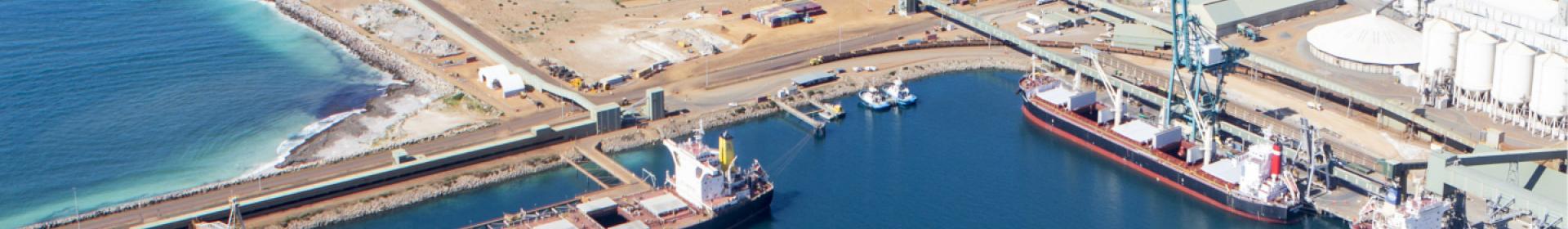
Esperance
-
Community
- Published: 13 September 2024

UPDATE Wednesday 18 September at 1pm: The geophysical survey has been completed and access restrictions now removed.
PUBLIC NOTICE - Friday 13 September 2024:
Entry into port waters by any person or vessel for water-based activities will be restricted each day from 9am to 2pm from Tuesday 17 September to Thursday 19 September to allow for geophysical surveys to take place.
The geophysical survey is being conducted as part of the detailed design of the new small boat facility to be located at Taylor Street.
The restricted area shown below encompasses the beaches and water from James Street to the Port of Esperance’s Berth 3.
Whilst we appreciate this may impact recreational plans of our community who regularly use this area, we are taking the precautionary measures to ensure everyone’s safety. For more information please see the below Frequently Asked Questions.
FREQUENTLY ASKED QUESTIONS
What is restricted and when? Are the beaches closed?
Entry into port waters by any person or vessel for water-based activities will be restricted between Tuesday 17 September and Thursday 19 September during the hours of 9am to 2pm.
The restricted area shown below encompasses the beaches and water from James Street to the Port of Esperance’s Berth 3.

Why are these restrictions in place?
Temporary restrictions are in place while experienced contractor GBG Group undertakes a low power geophysical survey on behalf of Southern Ports as part of detailed design of the new small boating facility to be located at Taylor Street.
These surveys, which are conducted using sound underwater, will occur at a depth of 5 to 15 metres below water surface to understand the depth and capacity of the bedrock to inform the piles (depth, system and anchoring) required for the new facility.
Southern Ports is taking the precautionary measures to restrict the area given the survey equipment can cause navigational hazards, the noise can also disrupt the operation of boats (in particular recreational vessels) as well as people and marine life in a close proximity. Whilst a very low level of noise is used, Southern Ports’ wishes to minimise any impacts.
Will there be any impacts of this work on marine life?
The wellbeing of marine life in our port waters is just as important to us as our local community’s wellbeing.
As part of the planning for this project, Southern Ports has undertaken a risk assessment and has worked closely with the Department of Climate Change, Energy, the Environment and Water (DCCEEW) on an Environmental Management Plan to prevent any impact on whales or other marine life.
From this assessment we know that the survey is low risk given that it is being undertaken in a small and limited area and in a shallow water environment, which will reduce noise transmission. The sound exposure levels are also well below the acceptable limit advised by the Commonwealth Environment Protection and Biodiversity Conservation Act 1999.
Notwithstanding this, as an added precaution Southern Ports will ensure a marine fauna observer is onsite throughout the survey period to halt any activity if a whale is observed in the area.
What is a seismic survey?
A marine seismic survey is a method of determining geological features below the sea floor. It involves sending sound waves into the layers beneath the sea floor and recording the time it takes for each wave to bounce back.
Why is this survey being undertaken now?
The information and data provided by the survey is required to support the design and development of the new small boat facility.
Who can I contact for more information?
If you have any queries regarding the project, please contact our team on 0488 459 906.